

FCE LTER Photos
Preview
Description
This material is based upon work supported by the National Science Foundation through the Florida Coastal Everglades Long-Term Ecological Research program under Cooperative Agreements #DBI-0620409 and #DEB-9910514.
This image is made available for non-commercial or educational use only.
Recommended Citation
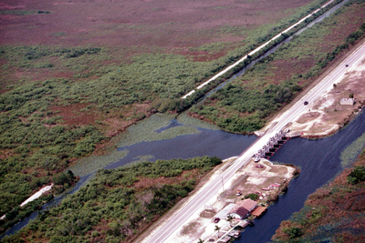
Romero, Luz and Verdon, Emilie, "Aerial photo of SRS-1a, the S12c water control structure, and the surrounding area, Shark River Slough" (2001). FCE LTER Photos. 3.
https://digitalcommons.fiu.edu/fce_lter_photos/3
Keywords
S12C, aerial photo, canal, freshwater, Shark River Slough, Everglades, SRS-1a, SRS-1
Image Location
Rights Statement

In Copyright. URI: http://rightsstatements.org/vocab/InC/1.0/
This Item is protected by copyright and/or related rights. You are free to use this Item in any way that is permitted by the copyright and related rights legislation that applies to your use. For other uses you need to obtain permission from the rights-holder(s).